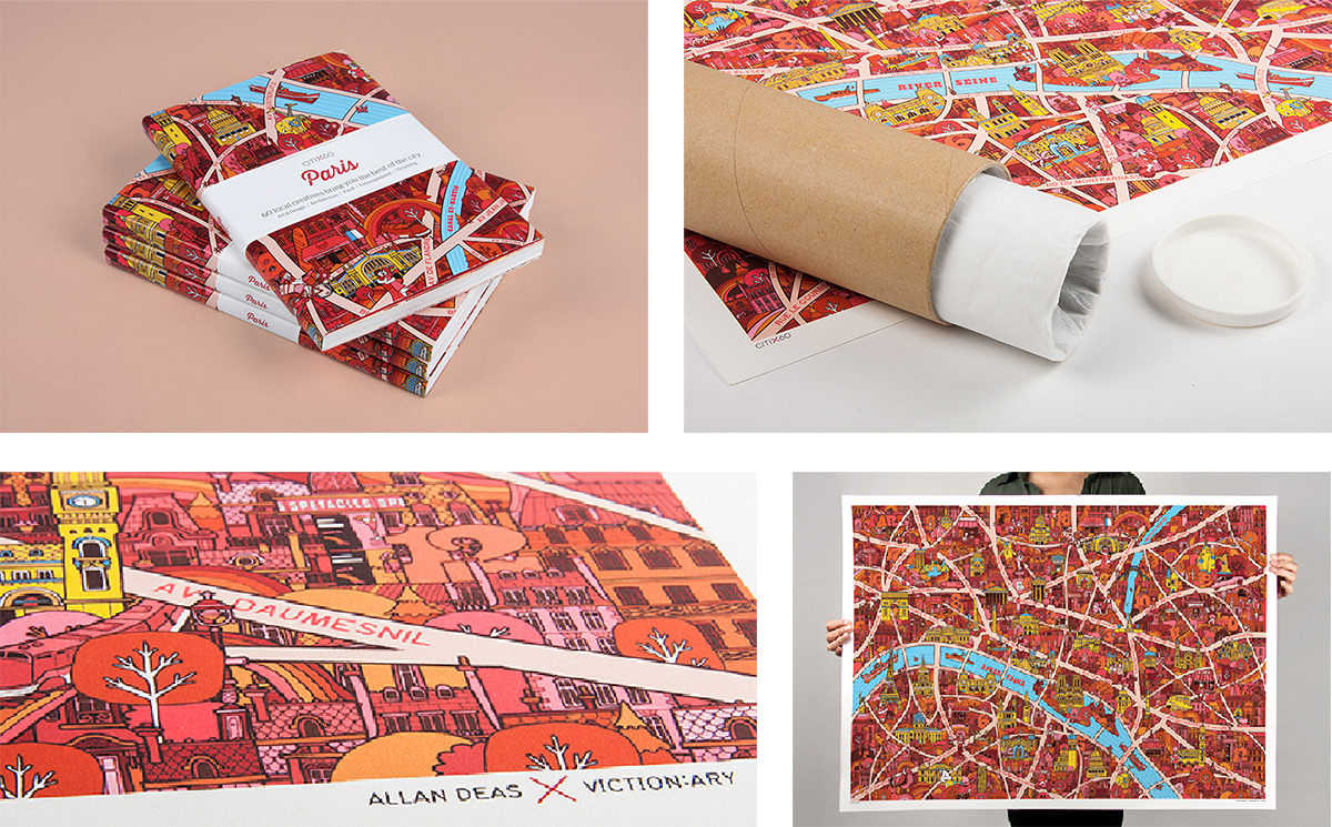

Paris Map
Viction:ary

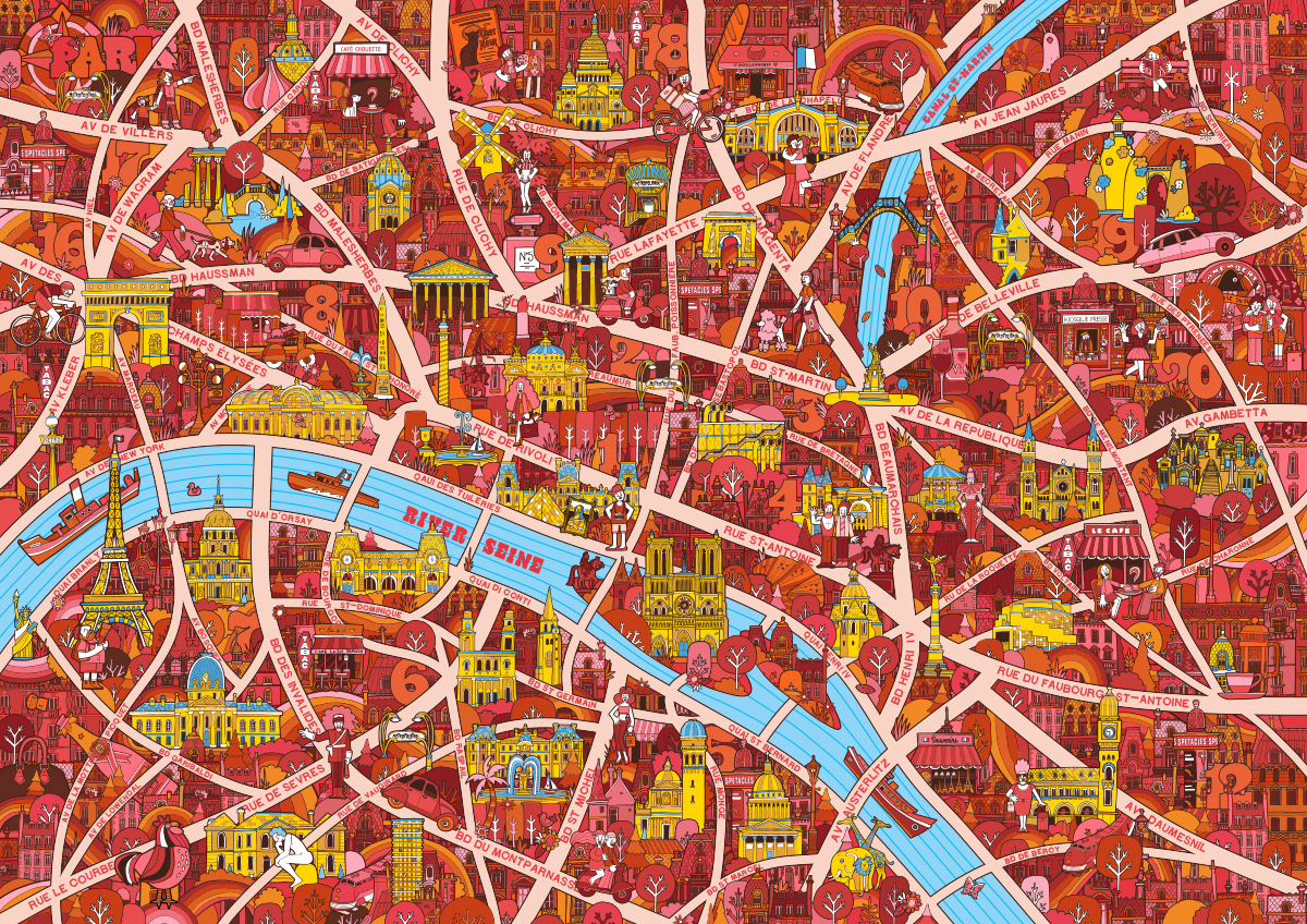
An Illustrated map collaboration for Victionary design publisher, Hong Kong. The CITIX60 project, where a different designer created the map for each guidebook for a range of world famous cities. The design orientated travel guides were also based on first hand recommendations of creatives in each destination.


The design I illustrated for Paris was used as a fold out map that doubled as the cover for the book. Also sold as limited edition fine art prints. The map was made when I lived in the French capital so from a personal point of view a nice 'souvenir' of my years in the city of light - ooh la la!